
Precision Survey Operations & Geodetic Management
Engineered for zero-tolerance civil engineering and surveying teams. Integrated site control registers, real-time drawing tracking, surveyor diaries, and automated 12d Model reporting.
0 PPM
Tolerance Benchmark
Zero-error geodetic site baseline calibration
100%
Revision Traceability
Instant sheet and CAD model audit trails
12d Model
Native Bridge Sync
Automated drawing register & volume import
Enterprise
Role-Based Guardrails
Granular permissions and complete audit trails
Purpose-Built for Geodetic & Civil Survey Teams
Designed from the ground up by engineering surveyors to eliminate communication gaps between field crews, project engineers, and client deliverables.
Site Control Management
Complete coordinate verification, tolerance thresholds, and revision histories for site baselines, bench marks, and geodetic reference pillars.
Drawing & Sheet Register
Instant indexing of design sheets, revision tags, disciplines, and 12d model structures. Full bulk editing and rapid CSV exports.
Field Diary & Timesheets
Field crew timesheets, plant tracking, weather diaries, and digital client sign-offs ensure full billing clarity and site accountability.
12d Desktop Bridge
Native Windows desktop bridge communication connects cloud directly to local 12d Model drawing register and conformance reporting tools.
Cloud Civil Design, Conversion & 3D Modeling
Cloud-powered civil design, survey conversion, and 3D modeling tools engineered for modern infrastructure workflows. Seamlessly exports native 12d Model (.12da / .12daz) and CAD-ready data.
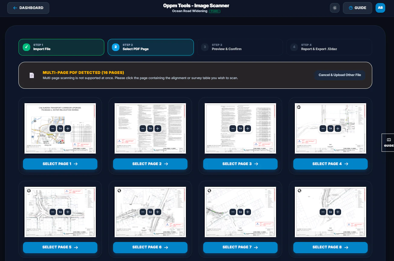
AI Image Scanner
Extracts horizontal and vertical geometric alignments and coordinate tables directly from PDF drawings and scanned plan sheets using AI vision.
Explore All 8 Tools at a Glance
AI Vision
AI Image Scanner
Extracts geometric alignments and coordinate tables from PDF drawings and scanned plan sheets using AI vision.
 3 Views
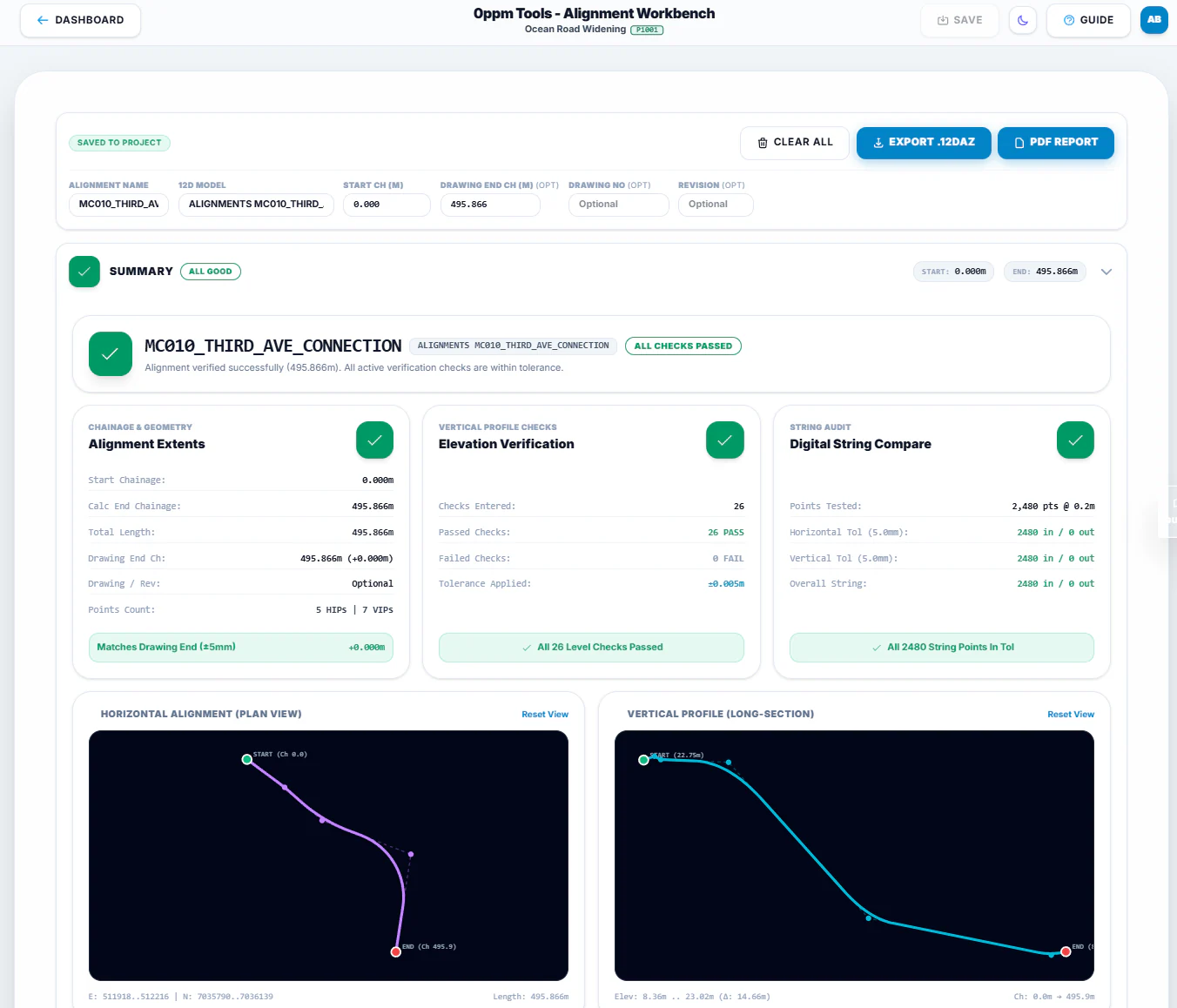
Alignment Workbench
Interactive civil alignment design with clothoid transitions, vertical curves, and superelevation with real-time visualization.
 3D Solid
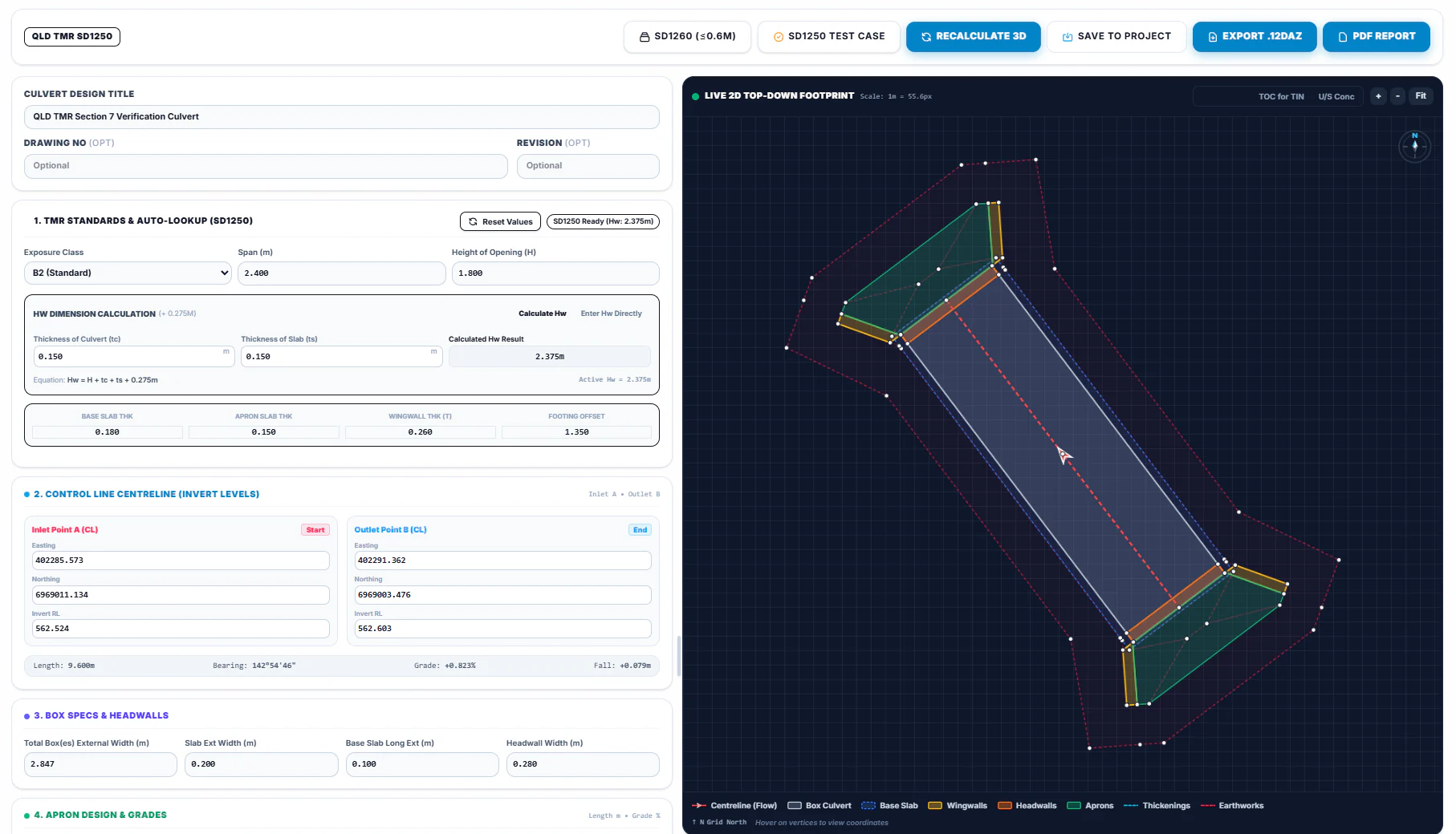
Culvert 3D
Parametric 3D RC box culvert modeler conforming to QLD TMR standards with multi-cell barrels, headwalls, and flared wingwalls.
 TIN Models
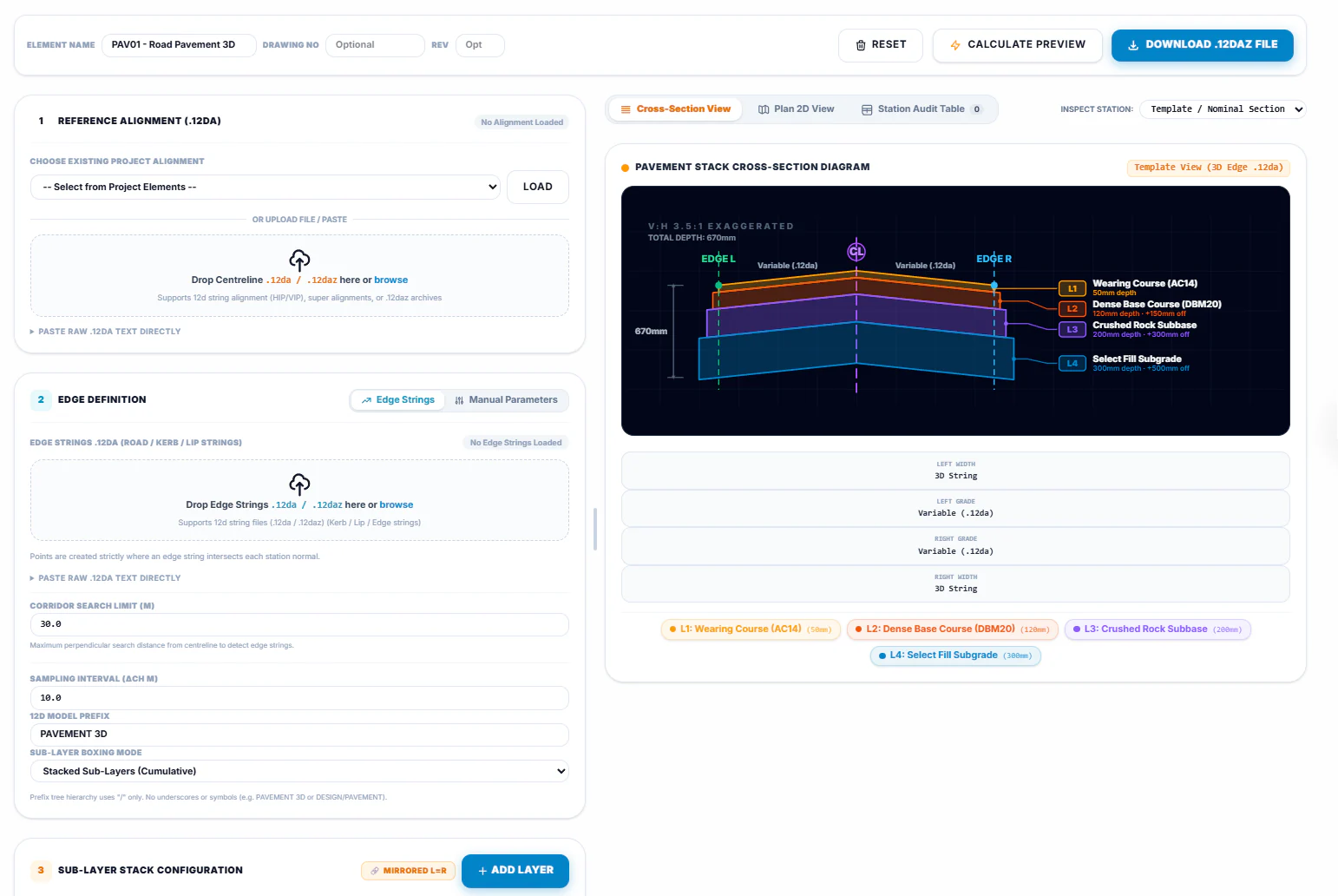
Pavement 3D
Computes 3D sub-layer pavement boundaries (subgrade, sub-base, wearing course) across crossfalls and widening envelopes.
 Longsections
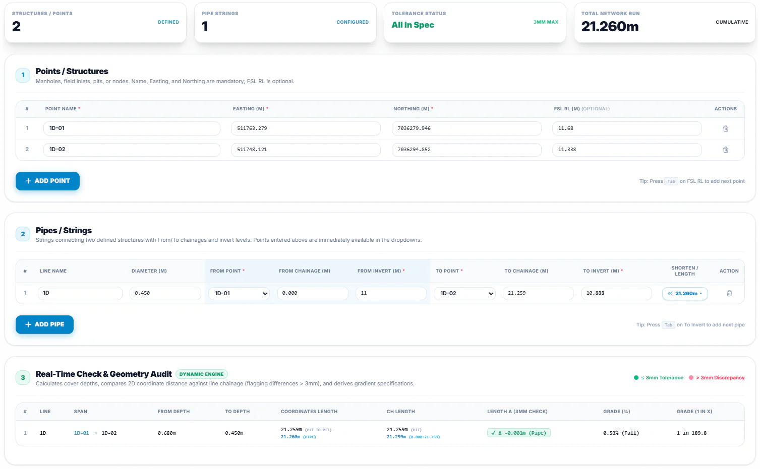
Drainage Networks
Interactive pit and pipe string modeler with automated cover depth checks, pipe clash inspections, and invert level audits.
 Fast Coords
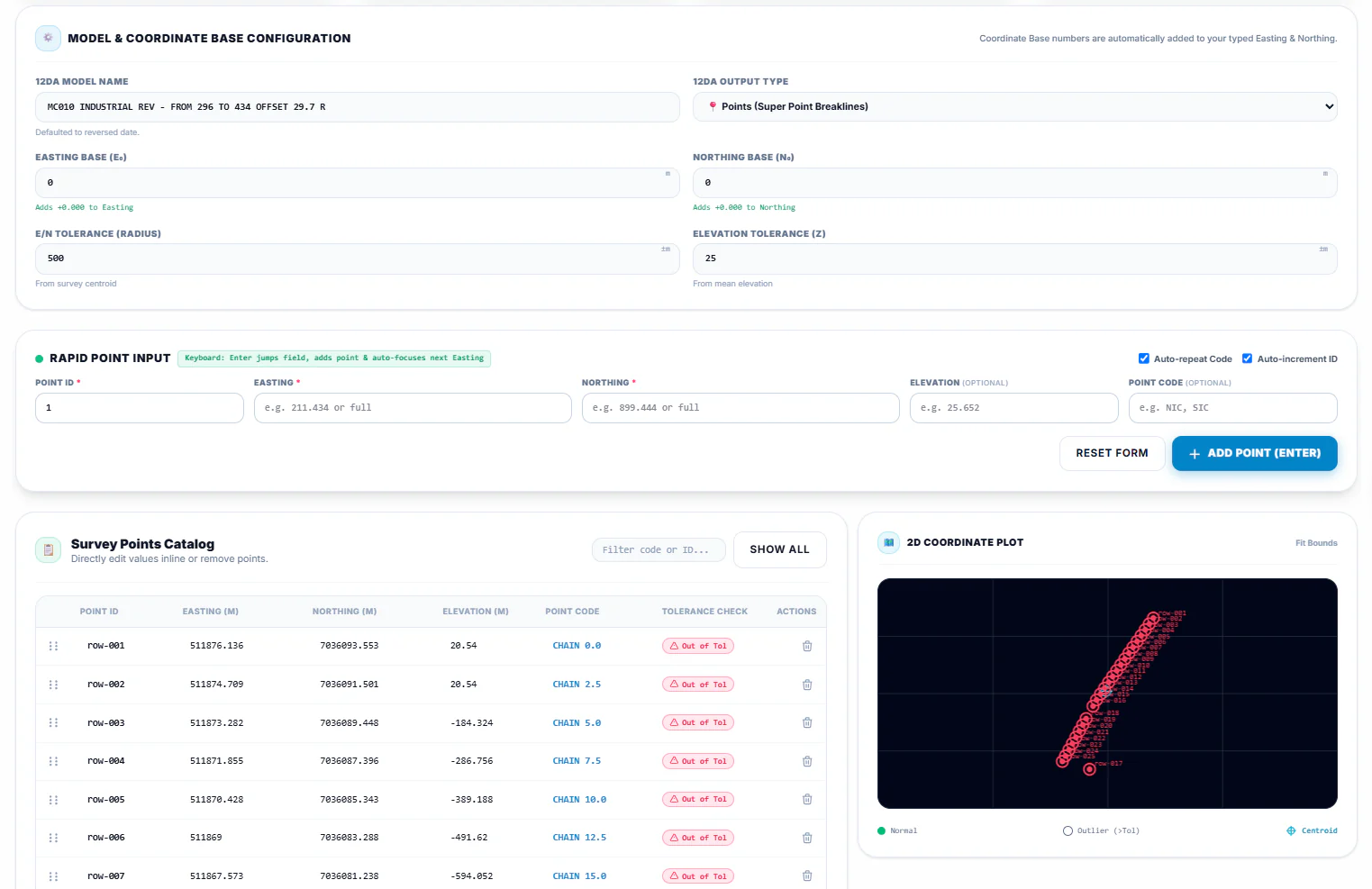
Quick Points
High-speed tabular survey coordinate entry with baseline offset transformations, centroid auditing, and bulk point generation.
 Optimizer
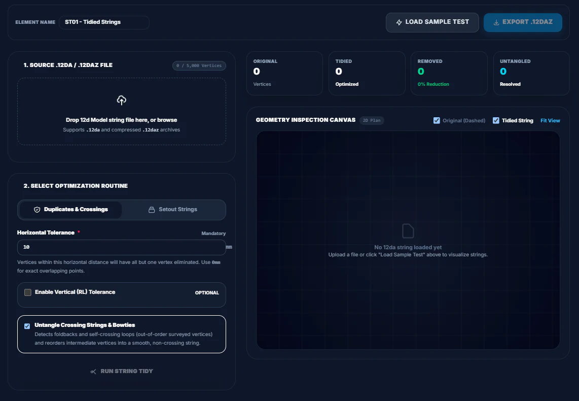
String Tidy
Cleans and optimizes survey linework—detecting and fixing duplicate vertices, bowtie crossings, and excessive vertex density.
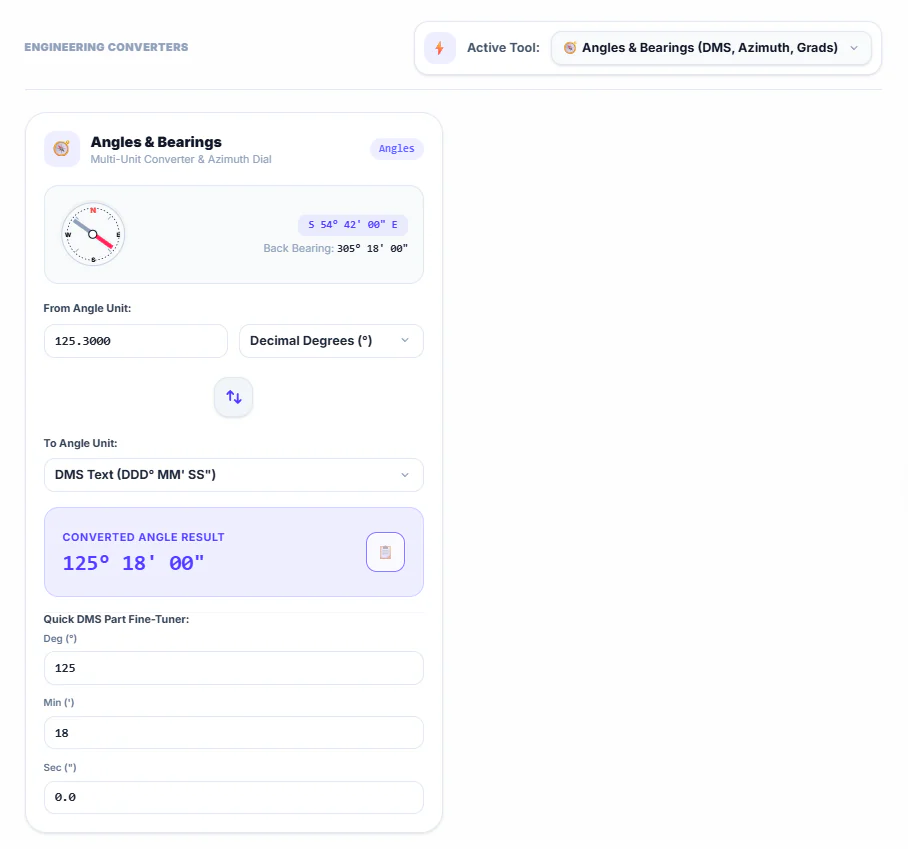 PPM & Angles
Conversion Hub
Real-time engineering conversion tools for angular formats (DMS/decimal/rad), slope/grades, and PPM atmospheric corrections.
Contact GeoVector / Request Platform Access
Fill in the form below and our operations team will be in touch with you shortly.